
Al Jazā’ir topographic map
Interactive map
Click on the map to display elevation.
About this map
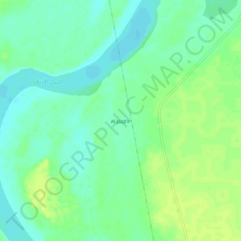
Name: Al Jazā’ir topographic map, elevation, terrain.
Location: Al Jazā’ir, Singa, Sannar, Soudan (13.04667 33.94667 13.08667 33.98667)
Average elevation: 434 m
Minimum elevation: 426 m
Maximum elevation: 443 m