Geolocate

Hartola topographic map

Click on the map to display elevation.

About this map

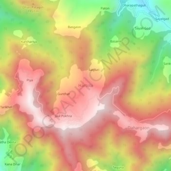
Name: Hartola topographic map, elevation, terrain.

Location: Hartola, Kosya Kutauli, Nainital District, Uttarakhand, 263158, India (29.45803 79.53235 29.49803 79.57235)

Average elevation: 1,885 m

Minimum elevation: 1,321 m

Maximum elevation: 2,285 m

Gear up for your next adventure:

🧴Waterproofing Spray - Restore the DWR coating on jackets and tents
🛶Kayak Dry Bag - Waterproof storage for kayaking adventures
🧴Bear Spray Holster - Quick-access carry for essential Canadian wilderness safety
🔋Lithium AA Batteries - Long-lasting power that performs in extreme cold
🥾All-Terrain Hiking Boots - Versatile boots for varied hiking conditions

As an Amazon Associate, this site earns from qualifying purchases at no extra cost to you.