
Vaiano topographic map
Click on the map to display elevation.
Vaiano
Vaiano is a frazione of the comune of Castiglione del Lago in the Province of Perugia, Umbria, central Italy. It stands at an elevation of 371 metres above sea level. At the time of the Istat census of 2001 it had 234 inhabitants.
About this map
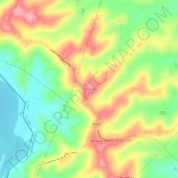
Name: Vaiano topographic map, elevation, terrain.
Location: Vaiano, Castiglione del Lago, Perugia, Umbria, 06061, Italy (43.03983 11.98002 43.07983 12.02002)
Average elevation: 306 m
Minimum elevation: 243 m
Maximum elevation: 377 m