
Petra topographic map
Click on the map to display elevation.
Petra
Petra se encuentra a mitad de camino entre el golfo de Aqaba y el mar Muerto a una altitud de 800 a 1396 m s. n. m. (metros sobre el nivel del mar) en un valle de la región montañosa de Edom, al este del valle del Arabah. Hoy, Petra está alrededor de 200 km (kilómetros) al suroeste de la capital jordana Amán, aproximadamente a 3 horas en automóvil.
About this map
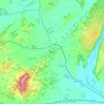
Name: Petra topographic map, elevation, terrain.
Location: Petra, Pla de Mallorca, Islas Baleares, 07520, España (39.57346 3.07281 39.65346 3.15281)
Average elevation: 107 m
Minimum elevation: 37 m
Maximum elevation: 307 m