
Make a donation
Gear up for your next adventure:
As an Amazon Associate, this site earns from qualifying purchases at no extra cost to you.
Zaffelare topographic map
Click on the map to display elevation.
Make a donation
Gear up for your next adventure:
As an Amazon Associate, this site earns from qualifying purchases at no extra cost to you.
Zaffelare
Zaffelare ligt in Zandig Vlaanderen en in het Waasland. De hoogte bedraagt 5-6 meter. De belangrijkste waterloop is de Zuidlede die ten noorden van Zaffelare verloopt. Daarbij ligt natuurgebied Siesmeers met aan de overzijde van de vaart het Provinciaal Domein Puyenbroeck.
Make a donation
Gear up for your next adventure:
As an Amazon Associate, this site earns from qualifying purchases at no extra cost to you.
About this map
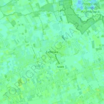
Name: Zaffelare topographic map, elevation, terrain.
Average elevation: 4 m
Minimum elevation: -3 m
Maximum elevation: 8 m
Make a donation
Gear up for your next adventure:
As an Amazon Associate, this site earns from qualifying purchases at no extra cost to you.