
Bergerie de Grotelle topographic map
Interactive map
Click on the map to display elevation.
About this map
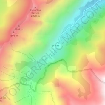
Name: Bergerie de Grotelle topographic map, elevation, terrain.
Average elevation: 1,775 m
Minimum elevation: 1,205 m
Maximum elevation: 2,384 m
Other topographic maps
Click on a map to view its topography, its elevation and its terrain.
Querraggia
França > Córsega > Haute-Corse > Corte > Querraggia
Querraggia, Corte, Haute-Corse, Córsega, França metropolitana, 20250, França
Average elevation: 519 m