
Cope topographic map
Click on the map to display elevation.
About this map
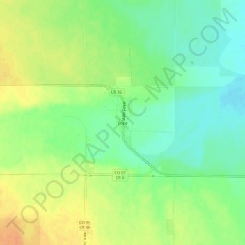
Name: Cope topographic map, elevation, terrain.
Location: Cope, Washington County, Colorado, 80812, United States (39.64388 -102.87104 39.68388 -102.83104)
Average elevation: 1,350 m
Minimum elevation: 1,333 m
Maximum elevation: 1,368 m
Other topographic maps
Click on a map to view its topography, its elevation and its terrain.