
Sandy Lake topographic map
Click on the map to display elevation.
About this map
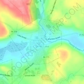
Name: Sandy Lake topographic map, elevation, terrain.
Location: Sandy Lake, Mercer County, Pennsylvania, United States (41.34265 -80.09628 41.35785 -80.07347)
Average elevation: 385 m
Minimum elevation: 345 m
Maximum elevation: 447 m
Other topographic maps
Click on a map to view its topography, its elevation and its terrain.
Little Shenango Dam
United States > Pennsylvania > Mercer County > Perry Township
Average elevation: 374 m
Schollard
United States > Pennsylvania > Mercer County > Springfield Township > Leesburg
Average elevation: 379 m