
Make a donation
Gear up for your next adventure:
As an Amazon Associate, this site earns from qualifying purchases at no extra cost to you.
Adamawa Plateau topographic map
Click on the map to display elevation.
Make a donation
Gear up for your next adventure:
As an Amazon Associate, this site earns from qualifying purchases at no extra cost to you.
Adamawa Plateau
The Adamawa Plateau is the source of many waterways, including the Benue River. The average elevation is about 3,300 feet (1,000 meters), but elevations can reach as high as 8,700 feet (2,700 meters). It is important for its deposits of bauxite. The vegetation is mostly savanna. The endangered toad Amietophrynus djohongensis is known to exist in the wild only in the Cameroonian part of the Adamawa Plateau.
Make a donation
Gear up for your next adventure:
As an Amazon Associate, this site earns from qualifying purchases at no extra cost to you.
About this map
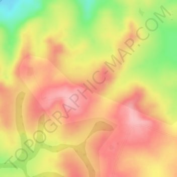
Name: Adamawa Plateau topographic map, elevation, terrain.
Location: Adamawa Plateau, Nyambaka, Vina, Adamawa, Cameroon (7.17769 13.58167 7.17779 13.58177)
Average elevation: 1,127 m
Minimum elevation: 1,029 m
Maximum elevation: 1,178 m
Make a donation
Gear up for your next adventure:
As an Amazon Associate, this site earns from qualifying purchases at no extra cost to you.