Geolocate

Pananggalon topographic map

Click on the map to display elevation.

About this map

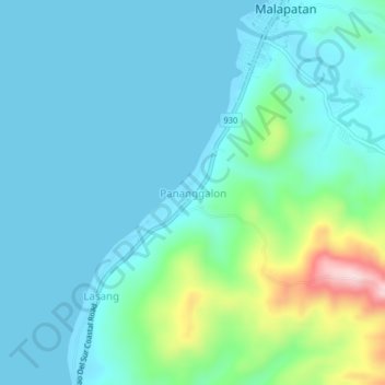
Name: Pananggalon topographic map, elevation, terrain.

Location: Pananggalon, Sarangani, Soccsksargen, Philippines (5.93157 125.25858 5.97157 125.29858)

Average elevation: 55 m

Minimum elevation: 0 m

Maximum elevation: 309 m

Gear up for your next adventure:

🌡️Emergency Mylar Blankets - Compact thermal protection for unexpected nights outdoors
🦯Trekking Poles - Reduced impact on joints for steep topographic climbs
🚲MTB Frame Bag - Carry tools and maps directly on your bicycle frame
🎒Fully Waterproof Backpack - Total protection for photography gear and electronics
💡Compact LED Flashlight - Powerful and portable flashlight for outdoor use

As an Amazon Associate, this site earns from qualifying purchases at no extra cost to you.