
Wingene topographic map
Interactive map
Click on the map to display elevation.
About this map
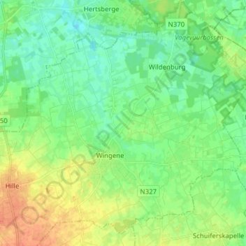
Name: Wingene topographic map, elevation, terrain.
Location: Wingene, Tielt, West Flanders, Flanders, Belgium (51.03279 3.22348 51.10427 3.34956)
Average elevation: 21 m
Minimum elevation: 8 m
Maximum elevation: 43 m