
Phú Thái topographic map
Interactive map
Click on the map to display elevation.
About this map
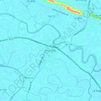
Name: Phú Thái topographic map, elevation, terrain.
Location: Phú Thái, Kim Thành District, Hải Dương Province, Vietnam (20.92317 106.46953 21.00317 106.54953)
Average elevation: 4 m
Minimum elevation: -1 m
Maximum elevation: 78 m