
Shade River topographic map
Interactive map
Click on the map to display elevation.
About this map
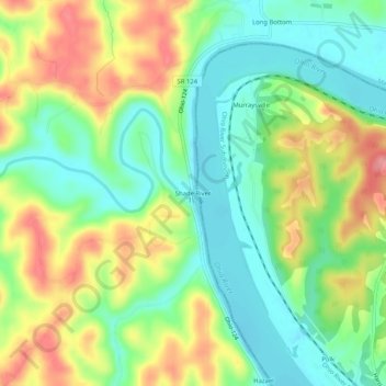
Name: Shade River topographic map, elevation, terrain.
Location: Shade River, Meigs County, Ohio, 45743, USA (39.04841 -81.83430 39.08841 -81.79430)
Average elevation: 213 m
Minimum elevation: 170 m
Maximum elevation: 274 m