
Luíntra topographic map
Interactive map
Click on the map to display elevation.
About this map
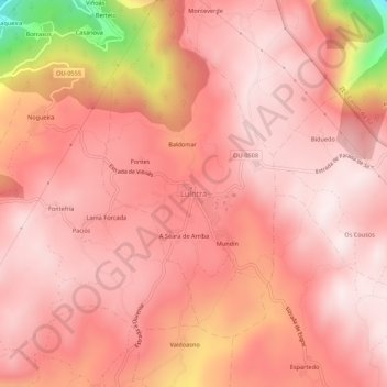
Name: Luíntra topographic map, elevation, terrain.
Location: Luíntra, Orense, Galicia, 32160, España (42.39069 -7.74657 42.43069 -7.70657)
Average elevation: 613 m
Minimum elevation: 151 m
Maximum elevation: 742 m