

Kohat topographic map
Click on the map to display elevation.
Kohat
Kohat city is located at an altitude of 489 metres (1,604 ft). Kohat Pass lies to the north. It is situated on the left bank of the Toi river at a point where after running nearly due east for 50 miles (80 km), it turns to the south. The total area of the district is 2,545 square kilometres (983 sq mi)
About this map
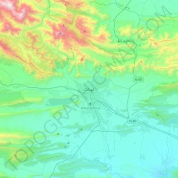
Name: Kohat topographic map, elevation, terrain.
Average elevation: 722 m
Minimum elevation: 369 m
Maximum elevation: 2,162 m
Other topographic maps
Click on a map to view its topography, its elevation and its terrain.
