
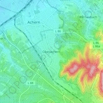
Oberachern topographic map
Click on the map to display elevation.
About this map
Name: Oberachern topographic map, elevation, terrain.
Average elevation: 176 m
Minimum elevation: 135 m
Maximum elevation: 311 m
Other topographic maps
Click on a map to view its topography, its elevation and its terrain.
Oberachern
Deutschland > Baden-Württemberg > Ortenaukreis > Achern > Oberachern
Average elevation: 186 m