
Santa Agueda topographic map
Interactive map
Click on the map to display elevation.
About this map
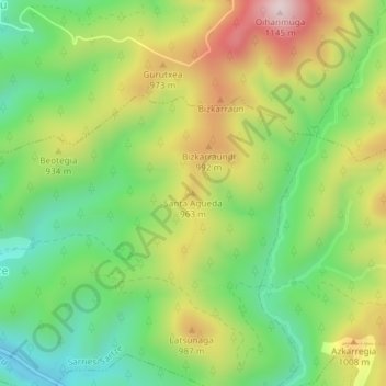
Name: Santa Agueda topographic map, elevation, terrain.
Location: Santa Agueda, Sarriés, Pirineo, Navarra, 31451, España (42.84038 -1.07925 42.84048 -1.07915)
Average elevation: 859 m
Minimum elevation: 666 m
Maximum elevation: 1,129 m