
Mataha topographic map
Interactive map
Click on the map to display elevation.
About this map
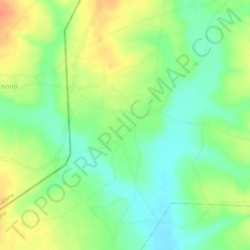
Name: Mataha topographic map, elevation, terrain.
Location: Mataha, Giwa, Kaduna, Nigeria (11.13804 7.18999 11.17804 7.22999)
Average elevation: 658 m
Minimum elevation: 637 m
Maximum elevation: 684 m