
Sondorillo topographic map
Interactive map
Click on the map to display elevation.
About this map
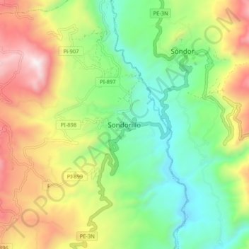
Name: Sondorillo topographic map, elevation, terrain.
Location: Sondorillo, Huancabamba, Piura, Peru (-5.37915 -79.46891 -5.29915 -79.38891)
Average elevation: 2,140 m
Minimum elevation: 1,640 m
Maximum elevation: 2,922 m