
Ludwigsdorf topographic map
Interactive map
Click on the map to display elevation.
About this map
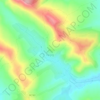
Name: Ludwigsdorf topographic map, elevation, terrain.
Location: Ludwigsdorf, Mieresch, 547378, Rumänien (46.87298 24.56113 46.88848 24.58496)
Average elevation: 462 m
Minimum elevation: 406 m
Maximum elevation: 549 m