Geolocate

Rohr topographic map

Click on the map to display elevation.

About this map

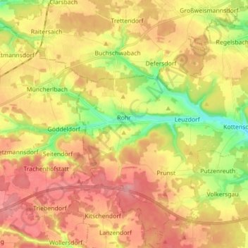
Name: Rohr topographic map, elevation, terrain.

Location: Rohr, Landkreis Roth, Bayern, 91189, Deutschland (49.29353 10.86157 49.38452 10.99781)

Average elevation: 399 m

Minimum elevation: 338 m

Maximum elevation: 448 m

Gear up for your next adventure:

🛶Canoe Life Vest - Safety vest for water sports
🚲Handlebar Phone Mount - View topographic-map.com live while cycling
🧥Softshell Jacket - Windproof and breathable jacket for hiking
🧴Sunscreen SPF - Broad-spectrum sunscreen for outdoor activities
🧭GPS Outdoor Watch - Smart watch for navigation and fitness tracking in nature

As an Amazon Associate, this site earns from qualifying purchases at no extra cost to you.