
Tále topographic map
Interactive map
Click on the map to display elevation.
About this map
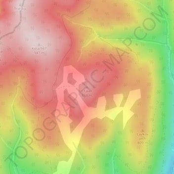
Name: Tále topographic map, elevation, terrain.
Average elevation: 787 m
Minimum elevation: 523 m
Maximum elevation: 944 m
Other topographic maps
Click on a map to view its topography, its elevation and its terrain.
Mostvisko
Slovaquie > Région de Banská Bystrica > okres Žiar nad Hronom
Mostvisko, 2487, Ihráč, okres Žiar nad Hronom, Région de Banská Bystrica, Slovaquie centrale, 966 11, Slovaquie
Average elevation: 556 m