
Río Pampas topographic map
Interactive map
Click on the map to display elevation.
About this map
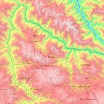
Name: Río Pampas topographic map, elevation, terrain.
Location: Río Pampas, Chincheros, Apurímac, Peru (-13.73256 -73.84860 -13.17038 -73.21095)
Average elevation: 3,016 m
Minimum elevation: 837 m
Maximum elevation: 4,893 m
Other topographic maps
Click on a map to view its topography, its elevation and its terrain.
Llancay
Peru > Apurímac > Chapimarca
Llancay, Chapimarca, Aymaraes, Apurímac, Peru
Average elevation: 2,984 m
Villa El Salvador
Peru > Apurímac > Villa El Salvador
Villa El Salvador, Chincheros, Apurímac, Peru
Average elevation: 3,644 m
Montevideo
Montevideo, Uranmarca, Chincheros, Apurímac, Peru
Average elevation: 3,249 m