
Tambi topographic map
Interactive map
Click on the map to display elevation.
About this map
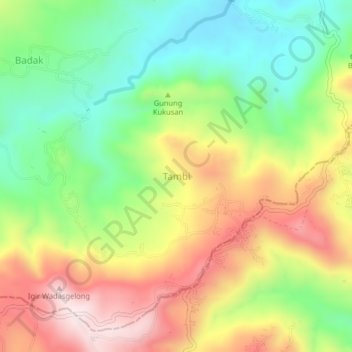
Name: Tambi topographic map, elevation, terrain.
Location: Tambi, Pemalang, Jawa Tengah, 53359, Indonésie (-7.20343 109.39487 -7.16343 109.43487)
Average elevation: 666 m
Minimum elevation: 436 m
Maximum elevation: 952 m