
Al Madaba topographic map
Interactive map
Click on the map to display elevation.
About this map
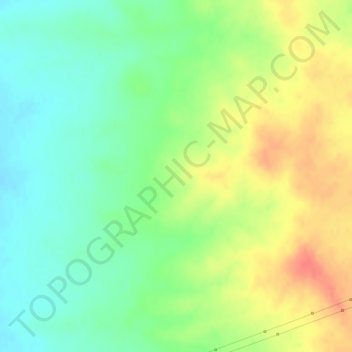
Name: Al Madaba topographic map, elevation, terrain.
Location: Al Madaba, ناحية السعن, منطقة سلمية, Hama, Syrie (35.43328 37.79995 35.43338 37.80005)
Average elevation: 437 m
Minimum elevation: 414 m
Maximum elevation: 466 m
Other topographic maps
Click on a map to view its topography, its elevation and its terrain.
Zawr Rashid al Barazi
Zawr Rashid al Barazi, ناحية حماة, منطقة حماة, Hama, Syrie
Average elevation: 356 m