Geolocate

Dang topographic map

Click on the map to display elevation.

About this map

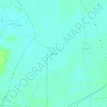
Name: Dang topographic map, elevation, terrain.

Location: Dang, Bawani Khera, Bhiwani district, Haryana, India (28.84109 75.96726 28.88109 76.00726)

Average elevation: 215 m

Minimum elevation: 211 m

Maximum elevation: 223 m

Gear up for your next adventure:

🍽️Titanium Camping Spork - Ultralight and indestructible eating utensil
🧭GPS Handheld Device - Reliable GPS navigation for outdoor adventures
🥾Mountain Trail Shoes - High-traction shoes for mountain trails
🥾Durable Hiking Shoes - Long-lasting shoes for frequent hiking
🌬️Windproof Camp Stove - Efficient cooking even on exposed mountain peaks

As an Amazon Associate, this site earns from qualifying purchases at no extra cost to you.