Geolocate

Minden topographic map

Click on the map to display elevation.

About this map

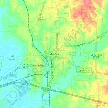
Name: Minden topographic map, elevation, terrain.

Location: Minden, Webster Parish, Louisiana, 71055, United States (32.57543 -93.32684 32.65543 -93.24684)

Average elevation: 70 m

Minimum elevation: 40 m

Maximum elevation: 124 m

Gear up for your next adventure:

🛶Waterproof Dry Bags - Keep electronics and clothes dry during river crossings
🥤Collapsible Travel Cup - Saves space and weight in your mess kit
🧣Merino Neck Gaiter - Protects against wind, sun, and cold at high altitudes
🧭GPS Tracker - Track your location in remote areas safely
🧼Travel Hand Sanitizer - Keep hands clean when water is scarce

As an Amazon Associate, this site earns from qualifying purchases at no extra cost to you.