Geolocate

Chironio Inferiore topographic map

Click on the map to display elevation.

About this map

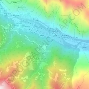
Name: Chironio Inferiore topographic map, elevation, terrain.

Location: Chironio Inferiore, Locana, Torino, Piemonte, Italia (45.38565 7.45040 45.42565 7.49040)

Average elevation: 993 m

Minimum elevation: 554 m

Maximum elevation: 1,883 m

Gear up for your next adventure:

🧢Sun Protection Cap - Breathable cap to protect from sun exposure
🧳Compression Sacks - Maximize space in your backpack by shrinking gear
🥾Hiking Shoes - Durable and comfortable shoes for trail hiking
🏃Hydration Running Vest - Carry water and maps close to your body for speed
🐕Hiking Dog Pack - Let your canine companion carry their own water and food

As an Amazon Associate, this site earns from qualifying purchases at no extra cost to you.