
The Municipal District of Adare — Rathkeale topographic map
Interactive map
Click on the map to display elevation.
About this map
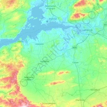
Name: The Municipal District of Adare — Rathkeale topographic map, elevation, terrain.
Average elevation: 74 m
Minimum elevation: -7 m
Maximum elevation: 404 m