Geolocate

Coffee Creek topographic map

Click on the map to display elevation.

About this map

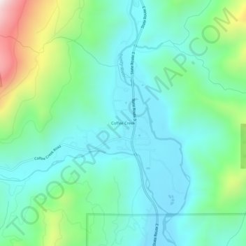
Name: Coffee Creek topographic map, elevation, terrain.

Location: Coffee Creek, Trinity County, California, United States (41.06903 -122.72891 41.10903 -122.68891)

Average elevation: 924 m

Minimum elevation: 733 m

Maximum elevation: 1,524 m

Gear up for your next adventure:

💡LED Headlamp - Hands-free illumination for night hiking and camping
🥾Trail Hiking Boots - Supportive boots for rough trails
🛶Kayak Accessories - Essential gear for safe and fun kayaking adventures
📷Outdoor Action Camera - Capture high-elevation views and rugged adventures
💡Portable Camping Lamp - Rechargeable lamp for campsite lighting

As an Amazon Associate, this site earns from qualifying purchases at no extra cost to you.