
Thank you for supporting this site ❤️
Make a donation
Make a donation
Gear up for your next adventure:
As an Amazon Associate, this site earns from qualifying purchases at no extra cost to you.
Bliggenswil topographic map
Click on the map to display elevation.
Thank you for supporting this site ❤️
Make a donation
Make a donation
Gear up for your next adventure:
As an Amazon Associate, this site earns from qualifying purchases at no extra cost to you.
About this map
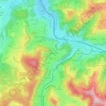
Name: Bliggenswil topographic map, elevation, terrain.
Location: Bliggenswil, Bauma, Bezirk Pfäffikon, Zurich, 8494, Switzerland (47.34472 8.84394 47.38472 8.88394)
Average elevation: 755 m
Minimum elevation: 610 m
Maximum elevation: 965 m
Thank you for supporting this site ❤️
Make a donation
Make a donation
Gear up for your next adventure:
As an Amazon Associate, this site earns from qualifying purchases at no extra cost to you.