Geolocate

Vaswewadi topographic map

Click on the map to display elevation.

About this map
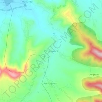
Name: Vaswewadi topographic map, elevation, terrain.

Location: Vaswewadi, Haveli, Pune District, Maharashtra, 411025, India (18.35197 73.69190 18.39197 73.73190)

Average elevation: 682 m

Minimum elevation: 579 m

Maximum elevation: 906 m

Gear up for your next adventure:

⛺Backpacking Tent - Lightweight tent for long-distance hiking trips
🔋Solar Power Bank - Keep your GPS and devices charged during long outdoor trips
🕯️Camping Lantern - Illuminates your entire campsite with high-efficiency LEDs
🕶️Polarized Sunglasses - Reduces glare from snow and water at high elevations
🥾Durable Hiking Shoes - Long-lasting shoes for frequent hiking

As an Amazon Associate, this site earns from qualifying purchases at no extra cost to you.