Geolocate

Paule 1 topographic map

Click on the map to display elevation.

About this map

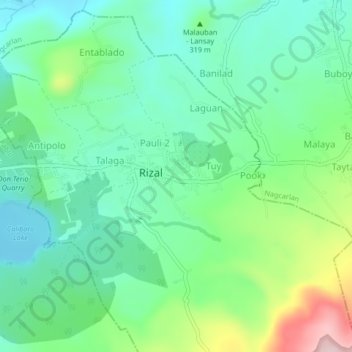
Name: Paule 1 topographic map, elevation, terrain.

Location: Paule 1, Rizal, Laguna, Calabarzon, 4003, Philippines (14.08966 121.37639 14.12966 121.41639)

Average elevation: 274 m

Minimum elevation: 181 m

Maximum elevation: 511 m

Gear up for your next adventure:

🛶Canoe Life Vest - Safety vest for water sports
🧥Waterproof Pants - Keep dry during rainy hiking conditions
Camping Tent - Weather-resistant tents suitable for 2 to 6 people
🦟Insect Repellent - Keep mosquitoes and black flies away in wooded areas
🥾Hiking Shorts - Breathable shorts suitable for summer hikes

As an Amazon Associate, this site earns from qualifying purchases at no extra cost to you.