
Darran topographic map
Interactive map
Click on the map to display elevation.
About this map
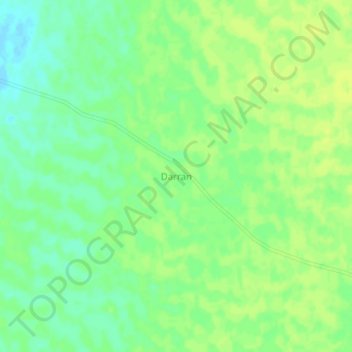
Name: Darran topographic map, elevation, terrain.
Location: Darran, En Nuhud, Kordofan de l’Ouest, Soudan (13.31950 28.76580 13.35950 28.80580)
Average elevation: 604 m
Minimum elevation: 594 m
Maximum elevation: 609 m