Geolocate

Bilga topographic map

Click on the map to display elevation.

About this map

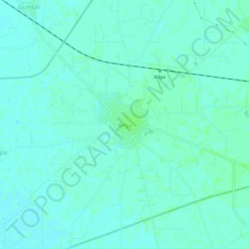
Name: Bilga topographic map, elevation, terrain.

Location: Bilga, Phillaur Tahsil, Jalandhar, Punjab, 144036, India (31.02963 75.63417 31.06963 75.67417)

Average elevation: 241 m

Minimum elevation: 238 m

Maximum elevation: 245 m

Gear up for your next adventure:

🥾Waterproof Trail Shoes - Shoes designed to handle wet terrain
🧦Hiking Socks - Moisture-wicking and comfortable socks for long hikes
🛏️Camping Sleeping Mat - Comfortable mats for sleeping outdoors
🧢Hiking Hat - Sun-protective and breathable hats for long treks
🥾Hiking Shorts - Breathable shorts suitable for summer hikes

As an Amazon Associate, this site earns from qualifying purchases at no extra cost to you.