Geolocate

Green Crossing topographic map

Click on the map to display elevation.

About this map

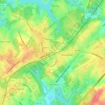
Name: Green Crossing topographic map, elevation, terrain.

Location: Green Crossing, Buford, Hall County, Georgia, United States (34.12538 -83.99741 34.16538 -83.95741)

Average elevation: 354 m

Minimum elevation: 318 m

Maximum elevation: 393 m

Gear up for your next adventure:

🥾Hiking Leggings - Comfortable leggings for outdoor activities
🥾Hiking Gaiters - Protect legs and shoes from mud, snow, and debris
🥽Outdoor Goggles - Protective eyewear for outdoor activities
🔨Vehicle Emergency Tool - Safety tool for remote road trips to trailheads
🎒Backpack Rain Cover - External shield to keep your entire pack dry

As an Amazon Associate, this site earns from qualifying purchases at no extra cost to you.