
Sungai Pulai Mangrove Forest Reserve topographic map
Interactive map
Click on the map to display elevation.
About this map
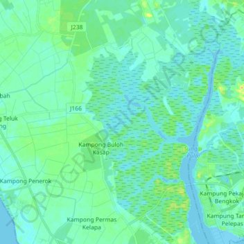
Name: Sungai Pulai Mangrove Forest Reserve topographic map, elevation, terrain.
Average elevation: 6 m
Minimum elevation: -3 m
Maximum elevation: 26 m