
Puerto Nariño topographic map
Interactive map
Click on the map to display elevation.
About this map
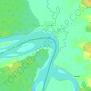
Name: Puerto Nariño topographic map, elevation, terrain.
Location: Puerto Nariño, Putumayo, Loreto, Peru (-0.37436 -74.63221 -0.33436 -74.59221)
Average elevation: 171 m
Minimum elevation: 162 m
Maximum elevation: 187 m