
Saint-Laurent-de-Muret topographic map
Interactive map
Click on the map to display elevation.
About this map
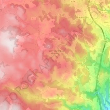
Name: Saint-Laurent-de-Muret topographic map, elevation, terrain.
Average elevation: 1,144 m
Minimum elevation: 694 m
Maximum elevation: 1,382 m