
Mellier topographic map
Interactive map
Click on the map to display elevation.
About this map
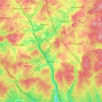
Name: Mellier topographic map, elevation, terrain.
Average elevation: 428 m
Minimum elevation: 350 m
Maximum elevation: 499 m
Other topographic maps
Click on a map to view its topography, its elevation and its terrain.
6860
Belgique > Luxembourg > Neufchâteau > Léglise
6860, Anlier, Léglise, Neufchâteau, Luxembourg, Wallonie, Belgique
Average elevation: 475 m