
Thank you for supporting this site ❤️
Make a donation
Make a donation
Gear up for your next adventure:
As an Amazon Associate, this site earns from qualifying purchases at no extra cost to you.
Dharamgarh topographic map
Click on the map to display elevation.
Thank you for supporting this site ❤️
Make a donation
Make a donation
Gear up for your next adventure:
As an Amazon Associate, this site earns from qualifying purchases at no extra cost to you.
About this map
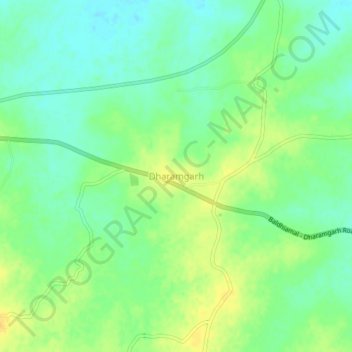
Name: Dharamgarh topographic map, elevation, terrain.
Location: Dharamgarh, Kalahandi, Odisha, 766015, India (19.84991 82.76064 19.88991 82.80064)
Average elevation: 236 m
Minimum elevation: 224 m
Maximum elevation: 249 m
Thank you for supporting this site ❤️
Make a donation
Make a donation
Gear up for your next adventure:
As an Amazon Associate, this site earns from qualifying purchases at no extra cost to you.