Geolocate

Alballar topographic map

Click on the map to display elevation.

About this map

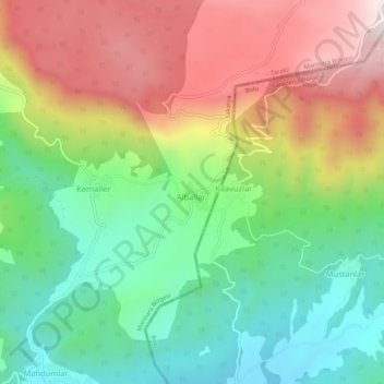
Name: Alballar topographic map, elevation, terrain.

Location: Alballar, Taraklı, Sakarya, Marmara Region, Turkey (40.44417 30.56625 40.48417 30.60625)

Average elevation: 884 m

Minimum elevation: 580 m

Maximum elevation: 1,300 m

Gear up for your next adventure:

🎒Backpack Rain Cover - External shield to keep your entire pack dry
🛶Waterproof Dry Bags - Keep electronics and clothes dry during river crossings
🥾Durable Hiking Shoes - Long-lasting shoes for frequent hiking
🧴First Aid Kit - Essential first aid supplies for outdoor emergencies
🥾Waterproof Hiking Boots - Essential footwear for rugged terrain and wet Canadian trails

As an Amazon Associate, this site earns from qualifying purchases at no extra cost to you.