Geolocate

Swat topographic map

Click on the map to display elevation.

About this map

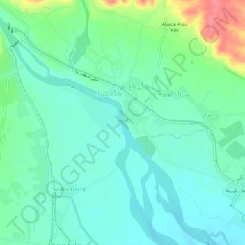
Name: Swat topographic map, elevation, terrain.

Location: Swat, Gul Bagh, Abazai, Khyber Pakhtunkhwa, Pakistan (34.29994 71.56181 34.33764 71.60684)

Average elevation: 370 m

Minimum elevation: 351 m

Maximum elevation: 423 m

Gear up for your next adventure:

🍽️Titanium Camping Spork - Ultralight and indestructible eating utensil
🥾Durable Hiking Shoes - Long-lasting shoes for frequent hiking
🛶Kayak Accessories - Essential gear for safe and fun kayaking adventures
🧦Outdoor Socks - Durable socks designed for hiking and outdoor sports
🧥Waterproof Pants - Keep dry during rainy hiking conditions

As an Amazon Associate, this site earns from qualifying purchases at no extra cost to you.