Geolocate

Sariyatal topographic map

Click on the map to display elevation.

About this map

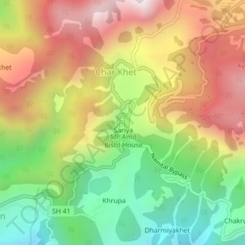
Name: Sariyatal topographic map, elevation, terrain.

Location: Sariyatal, Sariya, Char Khet, Nainital, Uttarakhand, India (29.37867 79.43073 29.38031 79.43144)

Average elevation: 1,878 m

Minimum elevation: 1,406 m

Maximum elevation: 2,381 m

Gear up for your next adventure:

🛶Kayak Accessories - Essential gear for safe and fun kayaking adventures
🧴Outdoor Sunscreen - High SPF protection for high-altitude UV exposure
🥾Mountain Trail Shoes - High-traction shoes for mountain trails
💧Reusable Water Bottle - Durable water bottles for hydration on trails
🧦Crew Hiking Socks - Comfortable socks for long-distance hikes

As an Amazon Associate, this site earns from qualifying purchases at no extra cost to you.