Geolocate

Nihang topographic map

Click on the map to display elevation.

About this map

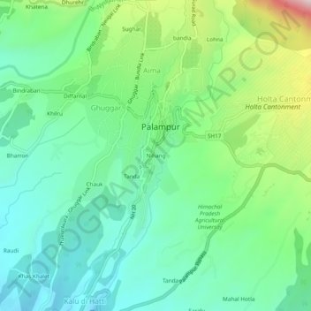
Name: Nihang topographic map, elevation, terrain.

Location: Nihang, Palampur, Kangra, Himachal Pradesh, 176061, India (32.08582 76.51522 32.12582 76.55522)

Average elevation: 1,242 m

Minimum elevation: 1,113 m

Maximum elevation: 1,557 m

Gear up for your next adventure:

🛌Down Sleeping Bag - Superior warmth-to-weight ratio for cold nights
🦯Trekking Poles - Reduced impact on joints for steep topographic climbs
🧶550 Survival Paracord - Versatile utility cord for emergency repairs and rigging
🥾Mountaineering Boots - Supportive boots for climbing and high-altitude hiking
💧Reusable Water Bottle - Durable water bottles for hydration on trails

As an Amazon Associate, this site earns from qualifying purchases at no extra cost to you.