
Seal Rocks topographic map
Click on the map to display elevation.
About this map
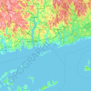
Name: Seal Rocks topographic map, elevation, terrain.
Average elevation: 37 m
Minimum elevation: -3 m
Maximum elevation: 198 m
Other topographic maps
Click on a map to view its topography, its elevation and its terrain.
Mystic
United States > Connecticut > Southeastern Connecticut Planning Region > Stonington > Mystic
Average elevation: 15 m
Mystic
United States > Connecticut > Southeastern Connecticut Planning Region > Stonington > Mystic
Average elevation: 15 m