Geolocate

Topsail topographic map

Click on the map to display elevation.

About this map

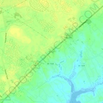
Name: Topsail topographic map, elevation, terrain.

Location: Topsail, Pender County, North Carolina, 28443, United States (34.36628 -77.70831 34.40628 -77.66831)

Average elevation: 10 m

Minimum elevation: -1 m

Maximum elevation: 17 m

Other topographic maps

Click on a map to view its topography, its elevation and its terrain.

Gear up for your next adventure:

💡LED Headlamp - Hands-free illumination for night hiking and camping
Tent Footprint - Protect tent floor and increase durability
🧰Multitool Knife - Compact and versatile tool for outdoor use
🌬️Windproof Camp Stove - Efficient cooking even on exposed mountain peaks
🥾Durable Hiking Shoes - Long-lasting shoes for frequent hiking

As an Amazon Associate, this site earns from qualifying purchases at no extra cost to you.