Geolocate

Paagahan topographic map

Click on the map to display elevation.

About this map
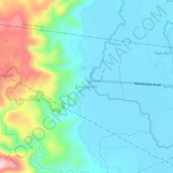
Name: Paagahan topographic map, elevation, terrain.

Location: Paagahan, Santa Maria, Laguna, Calabarzon, 4020, Philippines (14.42448 121.38166 14.46448 121.42166)

Average elevation: 70 m

Minimum elevation: 3 m

Maximum elevation: 301 m

Gear up for your next adventure:

🥾Lightweight Hiking Shoes - Comfortable shoes for day hikes
💧Collapsible Water Bottle - Space-saving water bottle for outdoor activities
👟Leg Gaiters - Keep debris, mud, and snow out of your boots
⛺Camping Groundsheet - Protect your tent from moisture and dirt
🧢Hiking Sun Hat - Wide-brimmed protection for exposed mountain ridges

As an Amazon Associate, this site earns from qualifying purchases at no extra cost to you.