
Chanchal topographic map
Click on the map to display elevation.
About this map
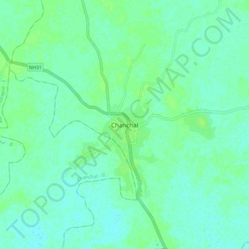
Name: Chanchal topographic map, elevation, terrain.
Location: Chanchal, Chanchal - I, Maldah, West Bengal, 732123, India (25.35274 87.96842 25.43274 88.04842)
Average elevation: 28 m
Minimum elevation: 24 m
Maximum elevation: 32 m