
Thank you for supporting this site ❤️
Make a donation
Make a donation
Gear up for your next adventure:
As an Amazon Associate, this site earns from qualifying purchases at no extra cost to you.
Ndera topographic map
Click on the map to display elevation.
Thank you for supporting this site ❤️
Make a donation
Make a donation
Gear up for your next adventure:
As an Amazon Associate, this site earns from qualifying purchases at no extra cost to you.
About this map
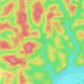
Name: Ndera topographic map, elevation, terrain.
Location: Ndera, Nanga-Eboko, Haute-Sanaga, Centre, Cameroon (4.71242 12.25658 4.76777 12.27428)
Average elevation: 615 m
Minimum elevation: 565 m
Maximum elevation: 661 m
Thank you for supporting this site ❤️
Make a donation
Make a donation
Gear up for your next adventure:
As an Amazon Associate, this site earns from qualifying purchases at no extra cost to you.